Report Design
Breckland Town Delivery Reports
Client
Breckland Council (via Hatch)
Industry
Municipal Government
My Role
Lead Designer
Location
United Kingdom
The Project
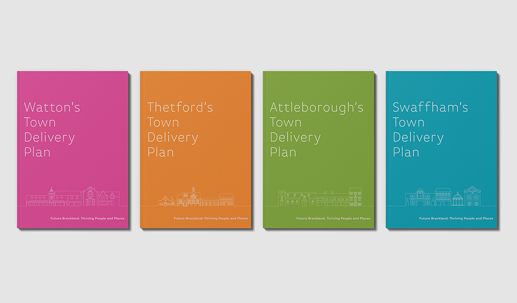
Breckland Council needed a coordinated suite of planning reports covering urban delivery strategies for five distinct towns — Dereham, Attleborough, Swaffham, Thetford, and Watton — along with a consolidated overview document.
The reports needed to communicate complex planning strategies to public and government stakeholders while maintaining consistency across the full suite. Each town required its own visual identity within the system, but the documents also needed to feel clearly connected as part of one larger regional planning initiative.
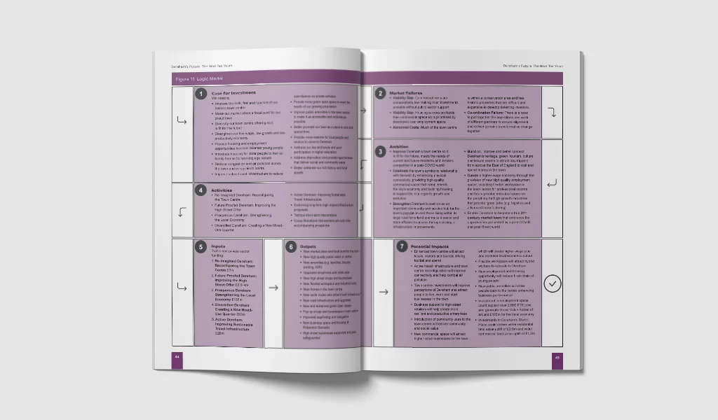
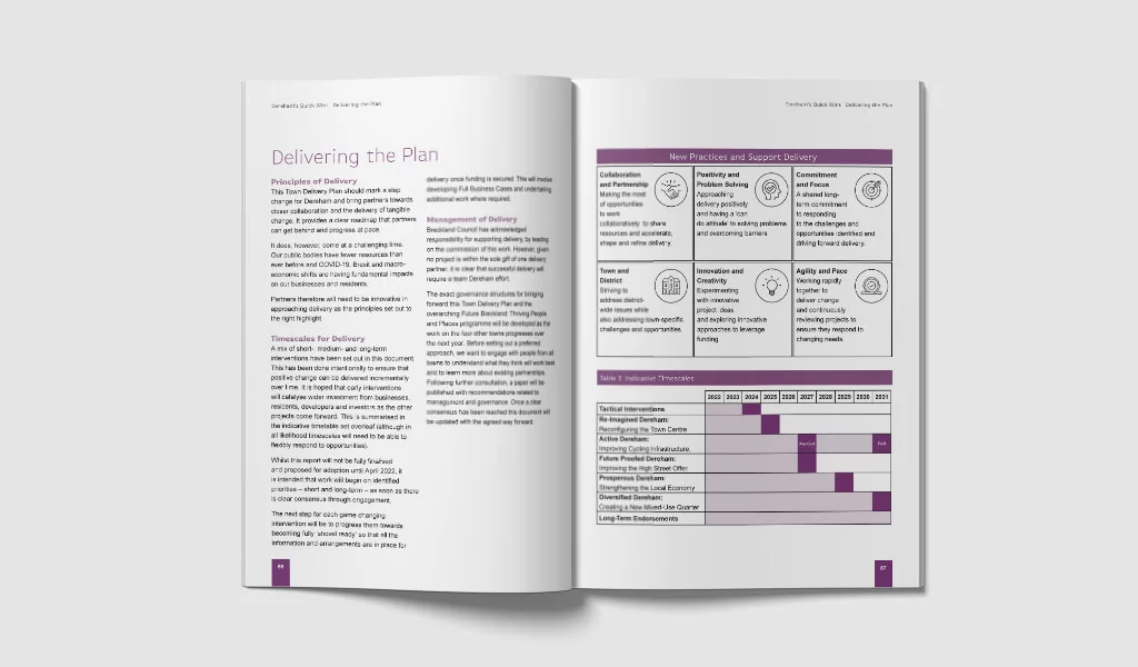
My role focused on developing the visual system, report framework, custom illustrations, navigation approach, iconography, and initial layouts that could support the suite as it moved through production.

The Thinking
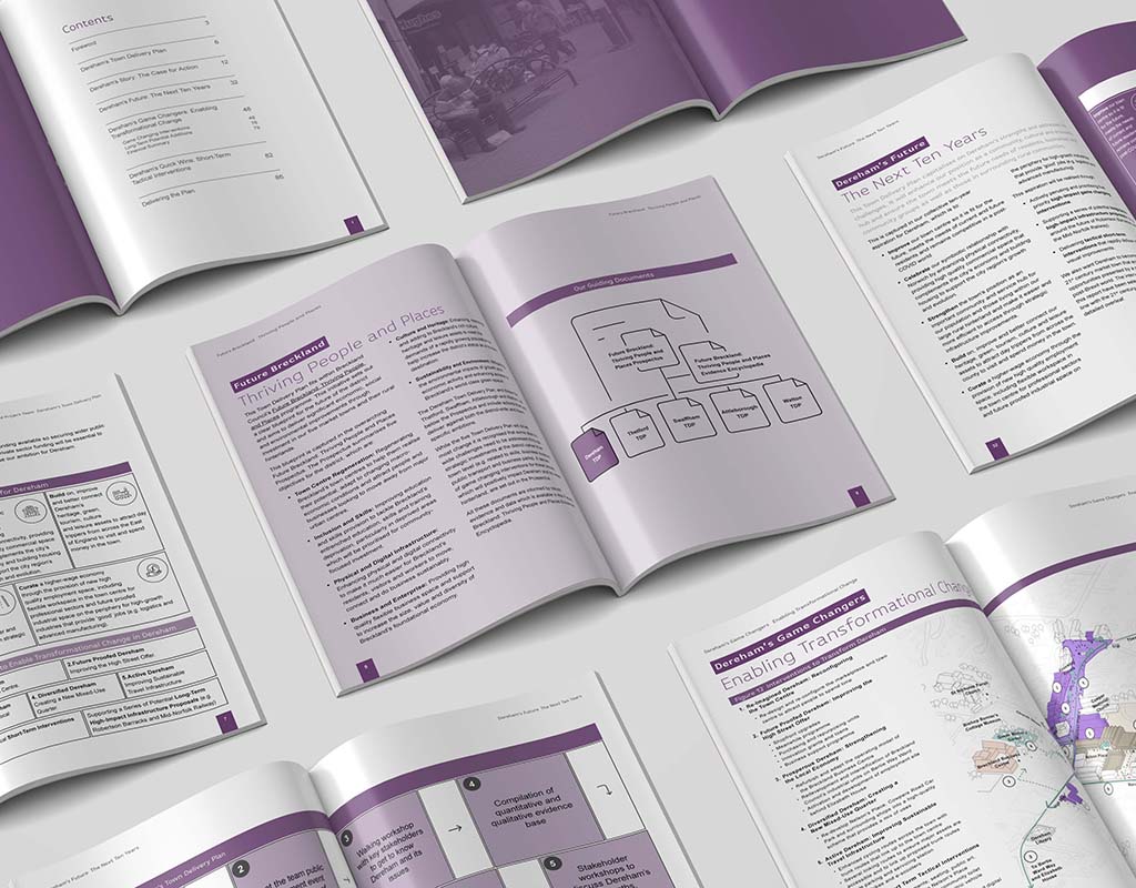
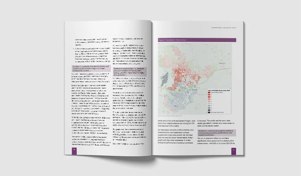
The available site photography was inconsistent in quality and insufficient to establish a cohesive visual standard across six documents. Rather than treating that as a production limitation to work around page by page, I addressed it at the system level.
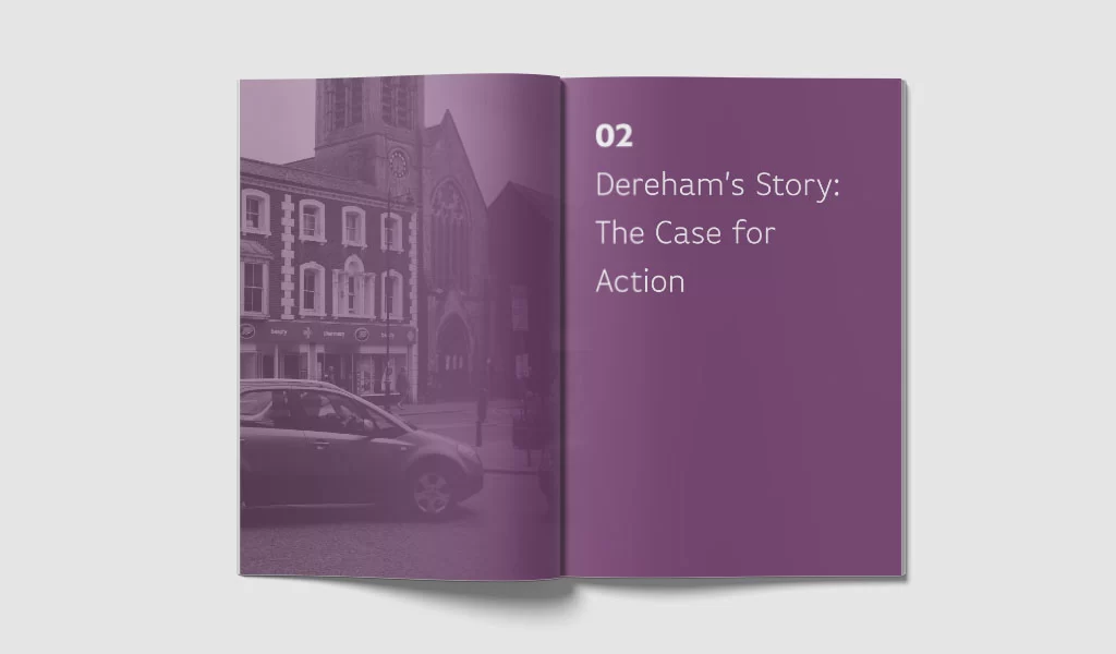
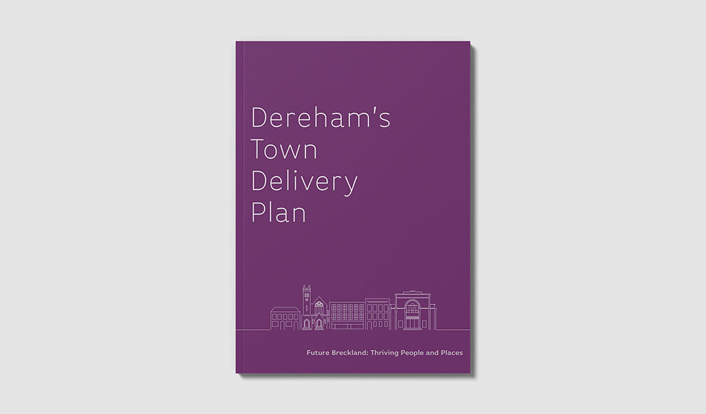
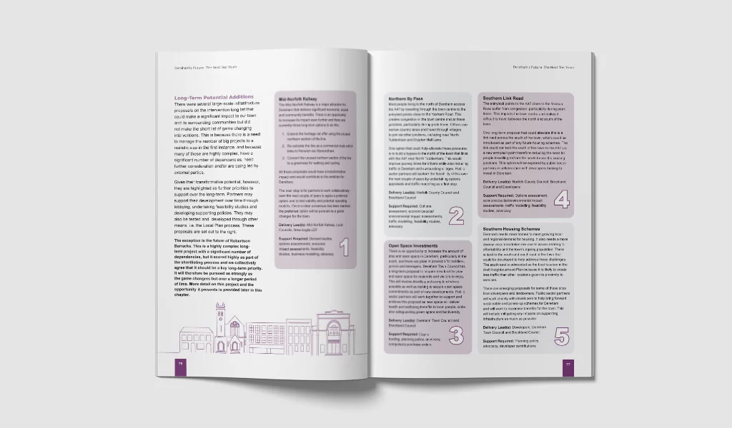
I developed a suite of custom town illustrations to give each report a distinctive visual anchor rooted in its specific place. The shared illustration style created consistency across the document family, while the individual town subjects gave each report its own identity.
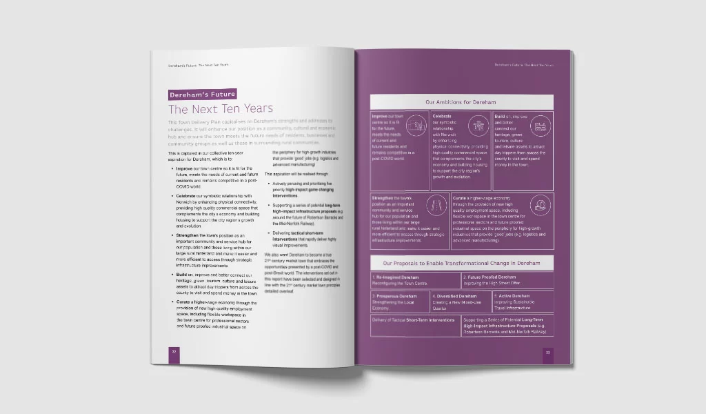
A colour-coded identification system provided the organizational structure for the suite. Each town had a distinct colour, helping readers differentiate between the five reports and making the consolidated overview easier to navigate when all five sets of information came together.
The illustration approach also shifted the tone of the documents. Planning reports can easily feel technical or institutional; the hand-drawn introduced warmth, approachability, and a stronger sense of place without compromising the professionalism of the report system.
What This Demonstrates